Is your child interested in learning more about the continents? Let’s find out something about – Africa!
It is the second-largest continent in the world, and it includes the island of Madagascar and many archipelagos. Africa is the only continent sitting on the fence of all four hemispheres. Along with Europe and Asia, people refer to it as the Old World. And that’s just for the starters!
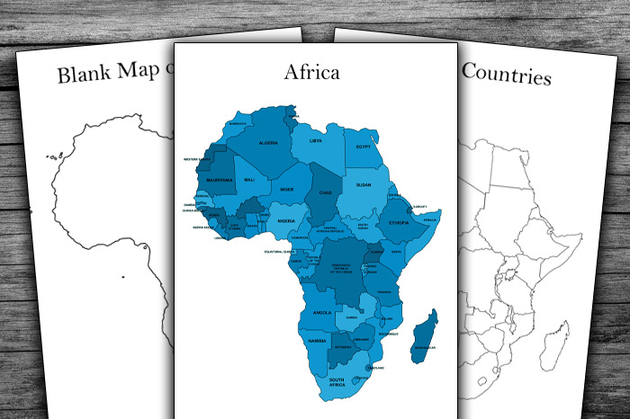
Here you will find several maps of the continent: a blank map of Africa, a map of Africa with countries outlined, and a map of Africa with countries labeled. All maps are printable and free for download pdfs.
You may use them as additional material to the school curriculum, for your homework, or to learn more in your spare time.
A Blank Map Of Africa
A blank or empty map of the continent means just that: there are no labels or colors, no parallels or meridians, no seas or mountains, no flags or countries’ names, no deserts or ports. It is utterly free of any content, which is why it’s useful for teaching, learning, or just a play.
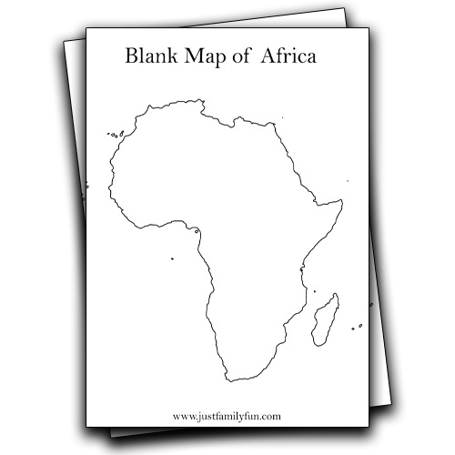
How can an empty map of Africa be useful? Children of various ages can do different things with it:
- kids can colour it,
- learn to spell the name of the continent,
- name cartoons that mention Africa (The prince of Egypt, Mulan, Lion King, Madagascar),
- they can brainstorm on Africa-related terms and draw them,
- take a quiz and pin the correct answers on the map,
- and many, many more.
A Map of Africa with Countries Outlined
Now, this is a more upgraded version. Still, nothing is labeled, but there is so much your child can do with it:
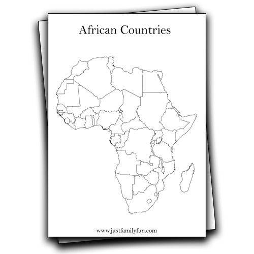
- draw equator and prime meridian,
- show and name hemispheres,
- write down Africa’s neighboring continents and countries,
- colour the country in brown, blue, and green colours, according to the presence of waters, mountains, and valleys.
A Map of Africa with Countries Labeled
It is otherwise called a political map of Africa. Here you will find a blank political map with outlined borders and names of the countries (an island included). Your child may do a lot with it:
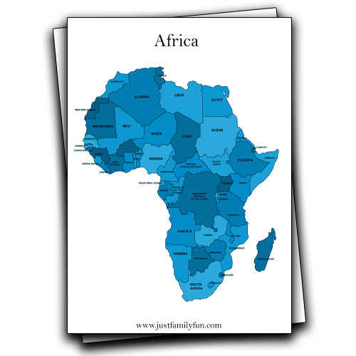
- learn that Africa has 54 recognized countries and even more territories (what are territories and why are they called like that?),
- point states and their capitals,
- draw and say where are and what are the names of the most significant rivers, mountains, deserts,
- brainstorm on Africa-related sports disciplines and most famous (sports) stars, and
- Share what they know of African history.
Sometimes, learning seems to be less of a game and more work. With these printable and downloadable Africa maps, the learning process may become more of a fun journey. Discover new facts, and talk a bit about the continent’s history. Think of popular culture with an African background. It may turn out to be a great conversation point.