
Printable Map Of The United States
Table of Contents
As a parent or teacher, you are always looking for new and fresh ideas for teaching kids about the world around them. These free Printable Maps of the United States are a great resource if you’re looking for an engaging and hands-on approach to learning about the geography of this important country.
The Map of the United States is a great way to teach kids about the geography of the United States, State names and other interesting facts about the country. It will give them a much better perspective on how such an interesting and varied country fits into place in the wider world.
Kids love to draw, colour, and explore so give them an opportunity to do so while learning with these interactive maps today!
Let’s explore exactly what’s included with this resource and how you can use it.
What’s Included in Our Free Printable Map of the United States
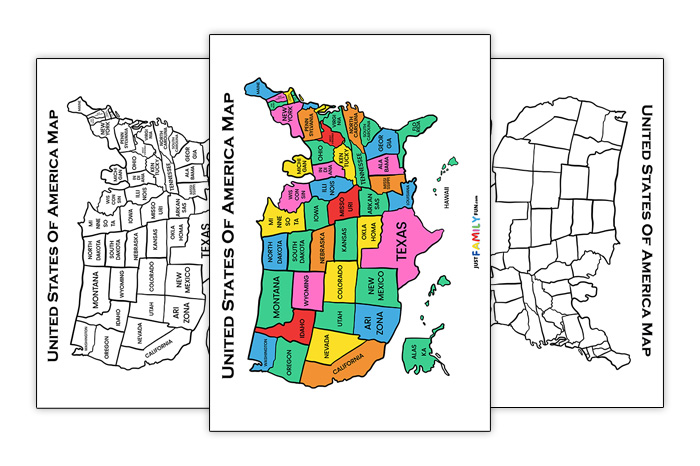
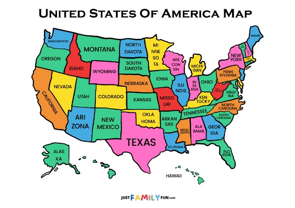
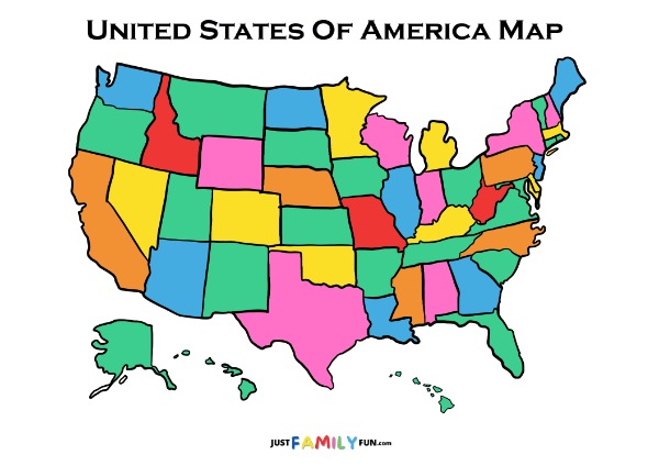
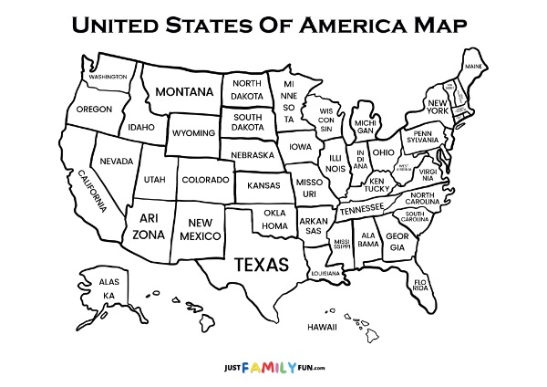
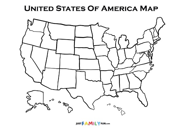
As you can see below there are 4 map of the United States included in this activity pack. 2 are colourful and bright, and 2 are in black and white. Also, 2 of them already have the State names included but the other 2 are blank.
In all of the 4 maps the States are outlined. This means they are perfect for an activity that aims to teach kids about the State names!
They are suitable for multiple levels of learning, as well as for teaching many different things.
As usual, click the button near the top in order to download all of these maps in an easy to print PDF file for free. Or click a specific map below to download just that one.
How You Can Use these Printable Maps of the United States
There are endless ways that you can use these free Printable Maps of the United States to keep your kids or students entertained while they’re learning a lot!
Learning State Names
If you would like to use these maps to teach the 50 State names (and how to spell them!) then helpfully we already have a Printable US States and Capitals List that you can use. Click Here
There are also other resources online to help you learn State names. Try looking up some songs to sing along to, or use different memory devices like inventing a story with each of the first letters of the State names. You can really get creative with this which will help the kids out enormously!
Learning More Geography
Of course there is much more that can be learned through using these free Printable Maps of the United States. Key geographical features can also be drawn onto the blank maps. You could write on the map what countries it borders where, or draw and colour in the different seas and oceans surrounding it.
There are many different regions, areas, cities, and national parks in the United States. It’s a large and diverse country with many different geographical features that you could discuss. Some could include Denali – the largest mountain in the United States (located in Alaska at 20,320 feet!), the Mississippi and Missouri rivers which travel many States and are the longest, and Washington DC which is of course the capital city!
The maps could also be used in a fun matching activity. You could read out a fact from a State and get them to tell you which State it’s from. Every right answer gets a point! Here’s some prompts you could use:
- This State has the largest population? (California)
- This is the largest State by land mass? (Alaska)
- This State has the least rain? (Nevada)
- This State famously has the Empire State Building? (New York)
- The Grand Canyon is located here? (Arizona)
These facts are totally customisable to your kids or students and can be used to teach many different things – about animals, National Parks, where famous people are from, different foods from each State, and where important historical events happened. These maps of course teach geography, but they can teach much more at the same time as this – all while having fun!
Not only do these activities teach important geography knowledge, they will also help improve memory, encourage critical thinking skills, and will help all different types of learners (visual, kinetic, written). All while having fun!
Other Printable Geography Materials
As mentioned above, head over to our Printable US States and Capitals List to see a full list of each State and it’s capital city.
To learn more about a particular continent, why not try the one with the most countries? Check out our Maps of Africa to learn more about this interesting place.
This Printable Blank World Map Template will teach about geography on a much larger scale! Get learning about contents, countries, and oceans.
For more Map of the United States follow our social media pages
Facebook & Pinterest